Eliminating the last mile of the unknown.
We provide technology that closes the gap in damage prevention: the last check, at the dig point, before ground is broken. It is built by the people who work in that moment.
No crew should have to guess what is below the bucket.
Every excavation follows a process. At the point of dig, the crew is still making a decision without full certainty. GroundScope exists to close that gap.
We focus on one moment: the point where preparation ends and the work begins. Our job is to give the crew a clear answer there, and to leave a record that the check was made.
Decisions should be based on clear information, not assumption.
Risk should be addressed before work begins, not discovered during it.
Crews should be able to act with confidence at the point of dig.
Work should be supported by a clear record, not memory alone.
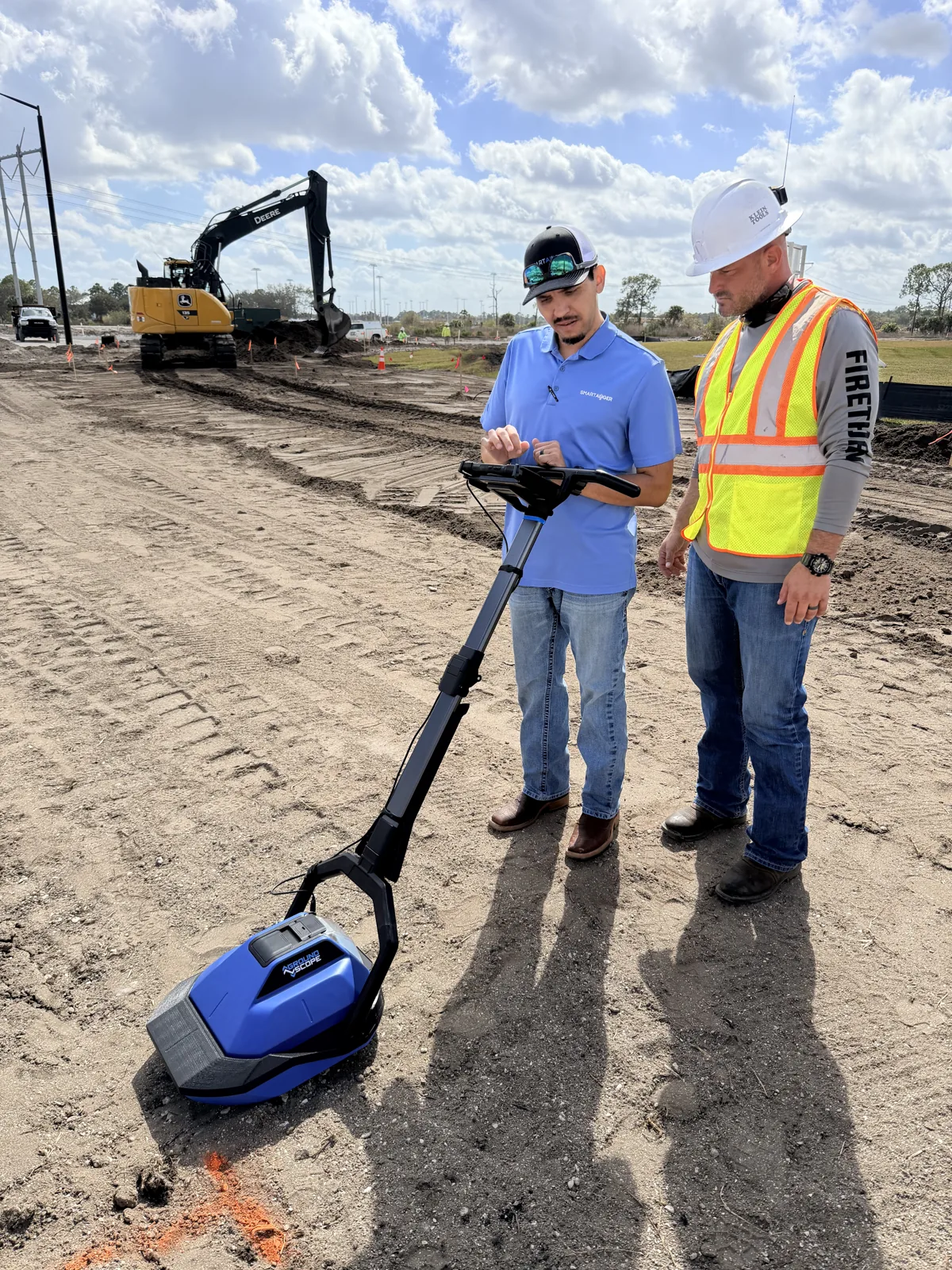
Our rootsFounded, led, and built by the industry
GroundScope was founded, led, and built by seasoned industry professionals, leading construction contractors, machine learning data scientists, and radar development pioneers.
It did not start in a lab looking for a problem. Tyler Dotson, a journeyman lineman with more than 15 years on utility crews, founded SmartAuger to give crews a way to check the ground themselves, at the moment it mattered. GroundScope grew out of that work.
Contractors, radar engineers, machine learning scientists, and field crews willing to test it on real jobs joined to build it. That mix is still how the company runs.
The people who design GroundScope are the people who would have to use it.
Four kinds of experience, one team
Seasoned industry professionals
Decades in utilities, damage prevention, and field operations. They know where the process breaks down, because they have run it.
Leading construction contractors
Contractors who dig for a living helped found and shape the product. Every feature has to earn its place on a working jobsite.
Machine learning data scientists
The team that taught software to read radar the way an expert does, trained on scans collected in the field, day after day.
Radar development pioneers
Engineers who design radar from the antenna up, alongside one of the country's leading electromagnetics laboratories.

Radar developed from the ground up, in house.
Most ground-penetrating radar products are built around someone else's radar. Ours is not. The antenna, the signal generator, the processing, and the models that read the result were all developed by our own team.
The fully polarimetric antenna was developed with Dr. Chi-Chih Chen of The Ohio State University ElectroScience Laboratory, one of the oldest and most respected electromagnetics laboratories in the world.
The work is protected by four issued U.S. patents, with more pending, covering fully polarimetric radar, geophysical machine learning, and depth estimation.
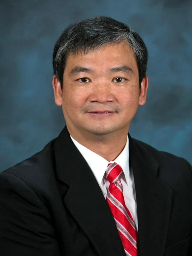
ElectroScience Laboratory, The Ohio State University
Beyond utilities.
A radar that sees more, read by software instead of a specialist, is useful well outside the excavation. The technology behind GroundScope has opened the way into other fields where what lies below the surface matters, including defense. That work is carried on by SmartAuger, the company behind GroundScope's radar.
What we hold ourselves to
Safety first
Every decision starts with the crew standing next to the bucket.
Clarity drives decisions
A complex signal has to become a plain answer a crew can act on.
Keep it simple
If it takes a specialist to run, it will not be there when it is needed.
Accountability matters
Work should be recorded, traceable, and defensible.
Reality sets the standard
We test on real jobs, in real soil, with real crews.