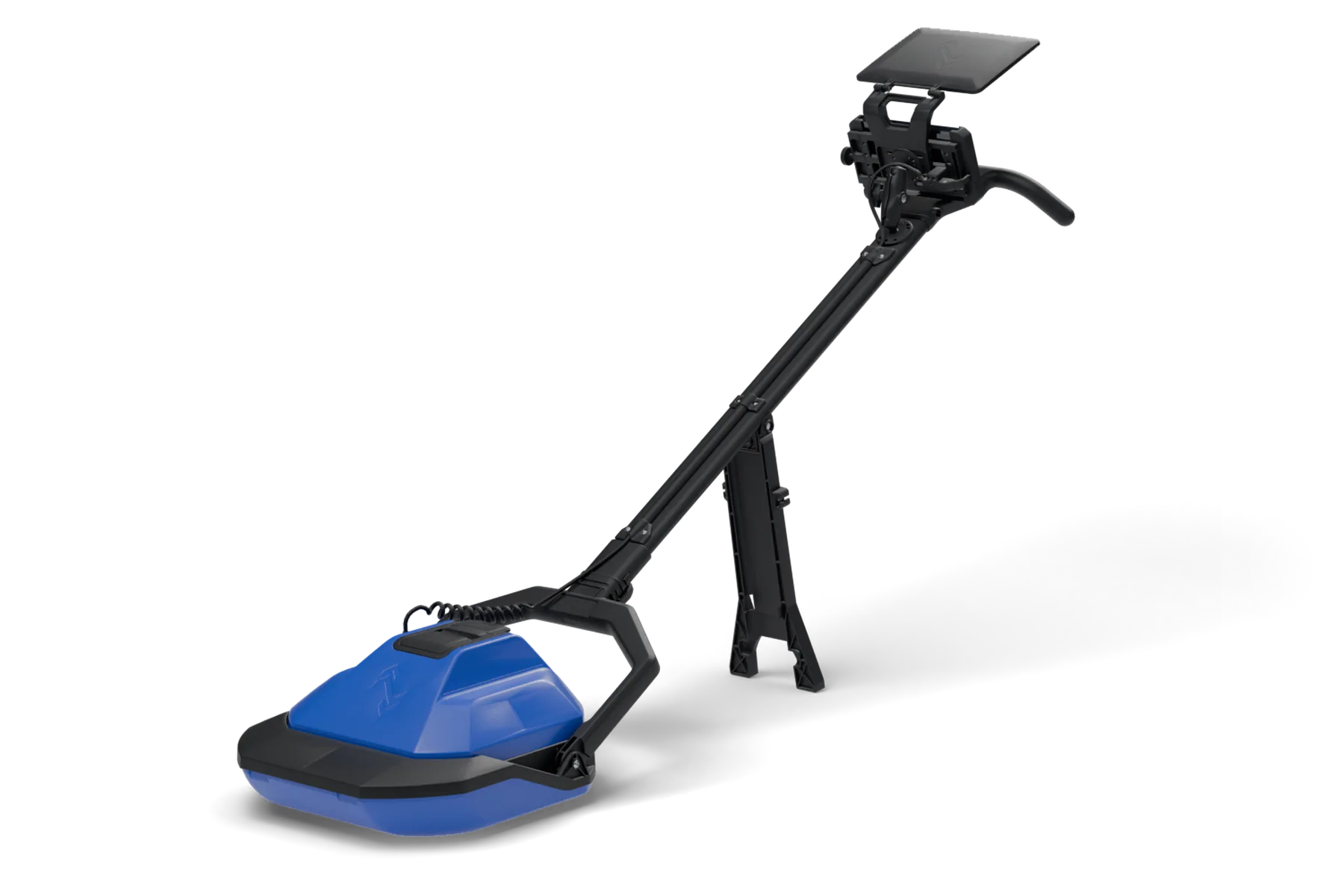
GroundScope GSX1000
An AI-powered subsurface verification tool that helps you detect and confirm utilities at the exact point of excavation.
Technical overview
The industry's first system to combine fully polarimetric GPR with advanced machine learning. The radar sees more; the software reads it for you.
Radar
- Type
- Fully polarimetric GPR
- Frequency range
- 100 to 800 MHz
- Detection depth
- 0 to 5 ft, soil dependent
- Targets
- Metal, plastic, concrete-encased
Positioning
- Receiver
- GPS-RTK with IMU
- Filtering
- Factor graph filtering
- Accuracy
- About 3 cm
Connectivity
- Cellular
- Built-in LTE
- Satellite
- Starlink compatible
- Records
- Synced to the GroundScope Portal
Command tablet
- Display
- 1,200 nits, sunlight readable
- Protection
- IP67 waterproof
- Durability
- MIL-STD-810 drop tested
In the field
- Unit protection
- IP65 dust and water
- Weight
- Under 21 lbs, one-person carry
- Trench mode
- Trenches and auger holes from 18 in
- Sled
- Wear tested over 18 miles of asphalt
- Transport
- Wheeled hard case, foam fitted
Power

- Platform
- M18™ REDLITHIUM™
- Run time
- 15 hours continuous on one 5.0 Ah pack
- Swap
- Hot-swappable, in seconds
- Charging
- Standard M18 chargers
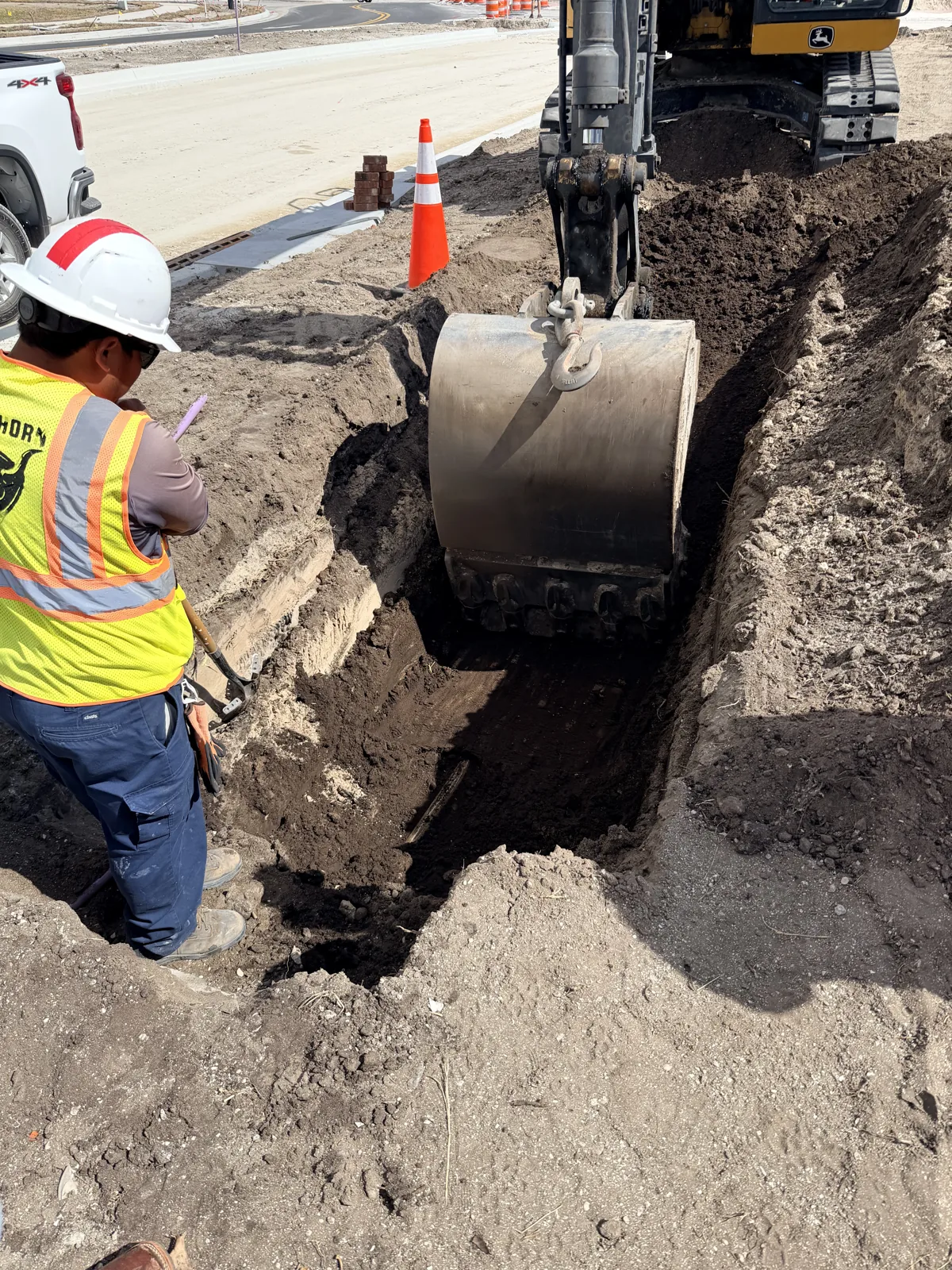
The last check before the bucket goes in
811 marks where the records say the lines run. A survey shows what was there on the day it was done. Neither one looks at the ground in the moment a crew is about to open it.
The GSX1000 does. One person scans the dig point and has an answer in seconds. It works alongside 811 and locating, and adds the check they leave out.
One unit. One operator. One answer.
Set the line on the tablet, press start, and walk. UtiliSense reads the scan and pins each target on a live map, with no radar training and no specialist to interpret it.
Most crew members are running it within ten minutes.
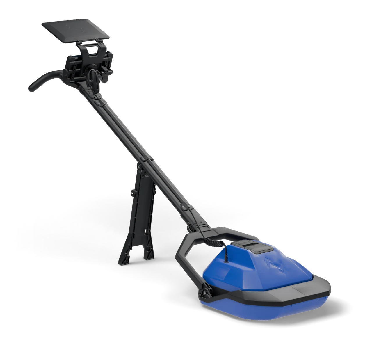
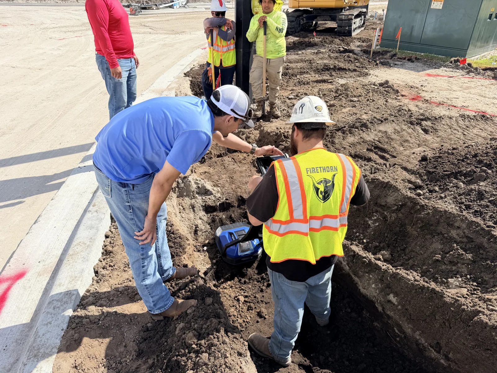
Progressive scanning: scan, dig, scan again
Every radar loses reach in clay, wet ground, and mixed fill. The GSX1000 gets around that by going down with the dig.
Scan the surface and dig what it cleared. Lift the radar core out of its sled, set it in the trench or auger hole, and scan again. Each pass clears the next layer before the bucket takes it.
The scan is always looking at fresh ground just ahead of the excavation, so depth is no longer set by the soil.
Built for the reality of the field
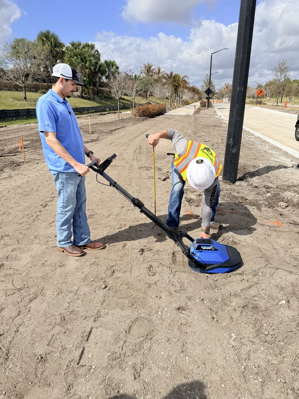
Finds what the marks missed
Metal, plastic, and concrete-encased lines, in any direction they run.
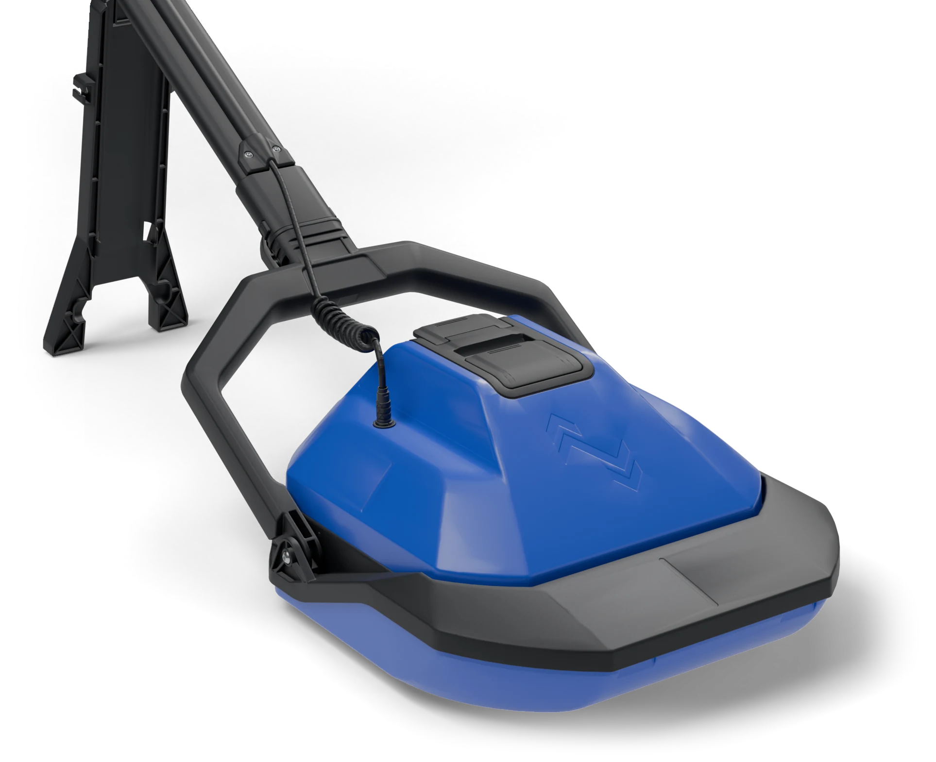
Glides over rough ground
A boat-hull sled rides across dirt, gravel, and pavement. Wear tested over 18 miles of asphalt, with a replaceable skid underneath.
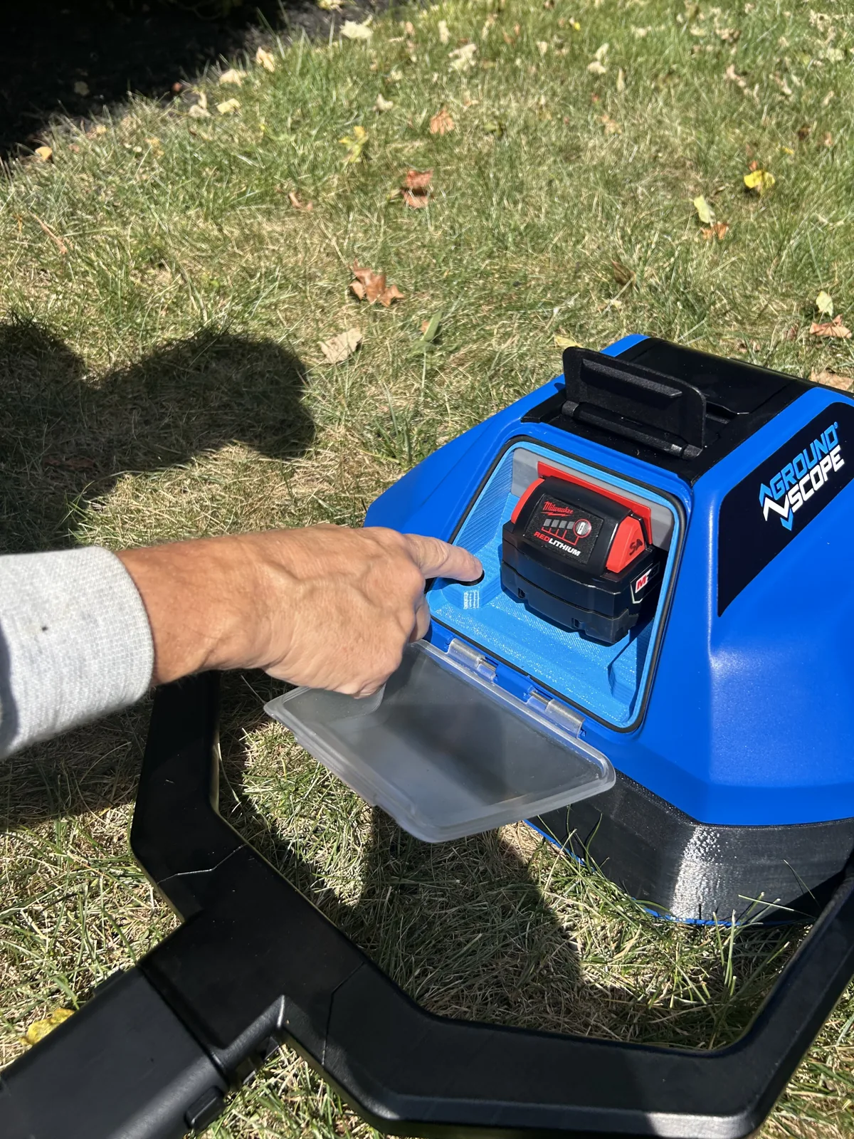
Sealed against the jobsite
IP65 against dust and water. The battery sits behind a clear, latched door.
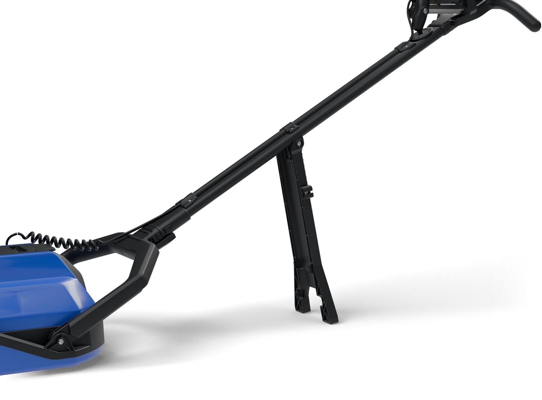
Stands by itself
A fold-out kickstand holds the unit upright between scans, hands free.
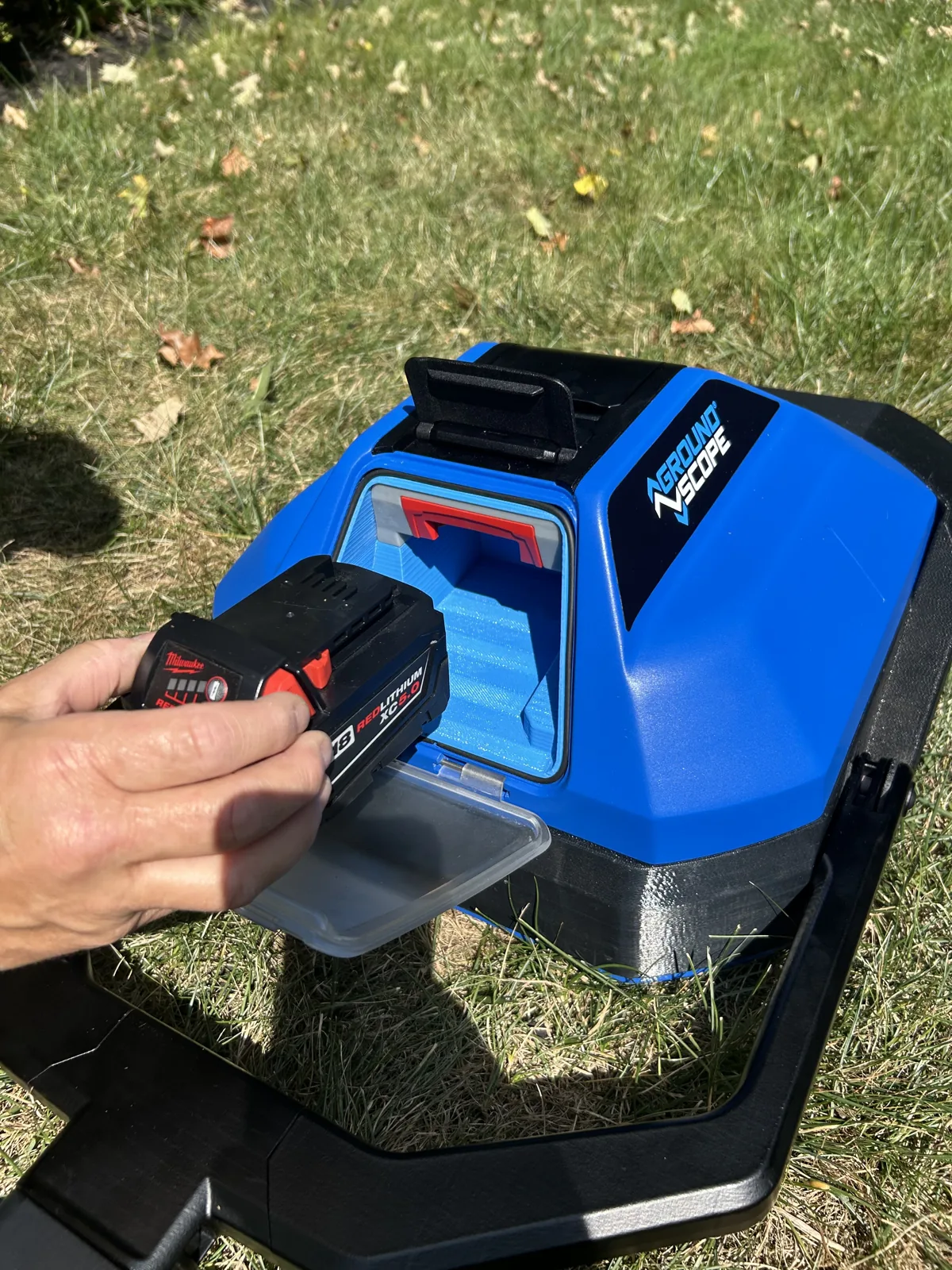
Batteries you already own
Runs on Milwaukee M18. Swap a pack in seconds and keep scanning.
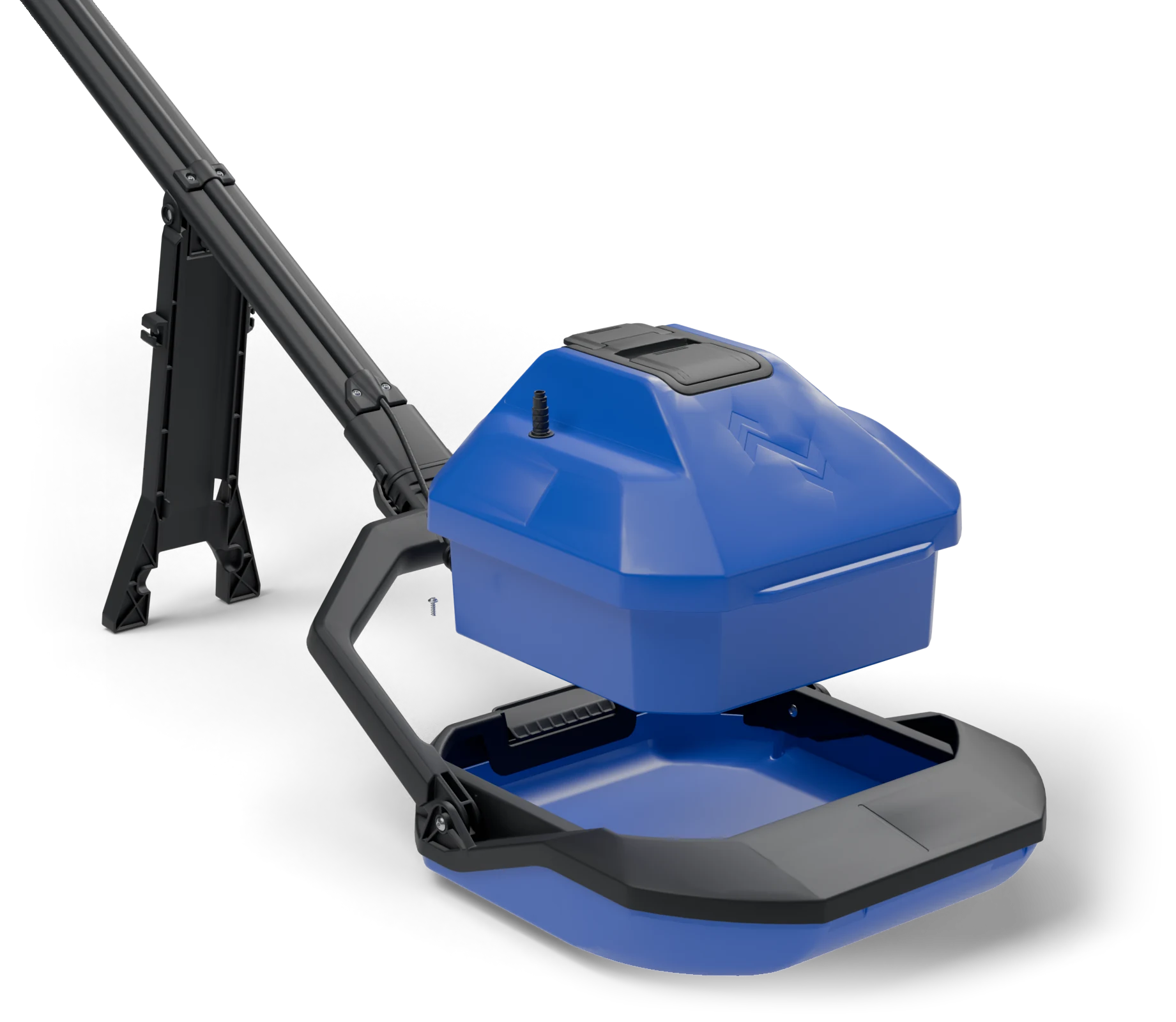
Goes where the dig goes
The core lifts out of the sled and drops into trenches and auger holes.
The battery is already on your truck.
The GSX1000 is POWERED BY M18™ REDLITHIUM™, the battery platform your crews already carry and charge. There is no proprietary pack to buy and no new charger to keep track of.
One M18 5.0 Ah pack runs the unit for 15 hours of continuous scanning. When it does run down, slide in another and keep going.
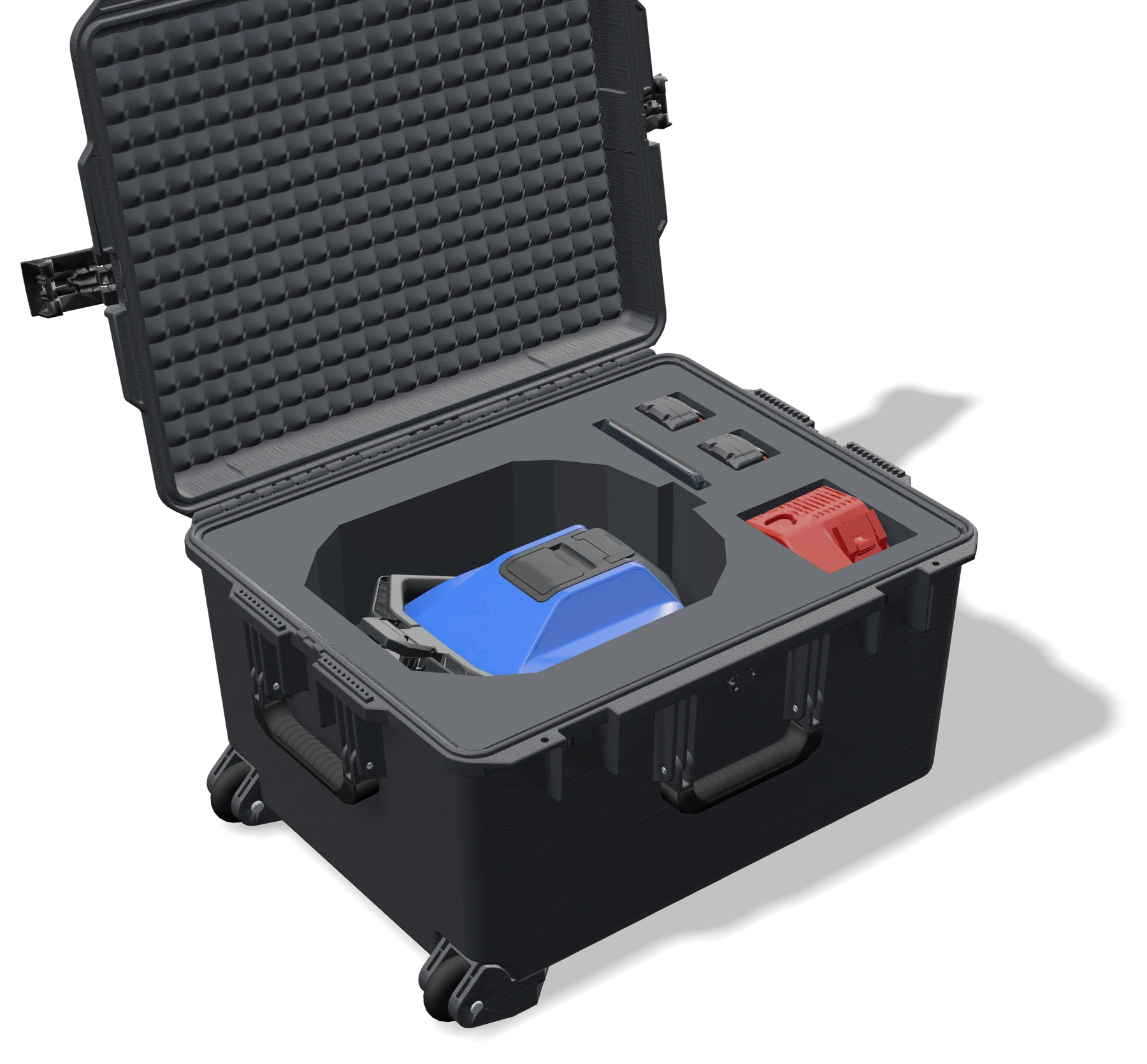
Portable. Everything travels in one case.
Under 21 lbs and carried by one person, the GSX1000 goes wherever the crew does.
Unplug the cord, pull the handle, fold the yoke forward. The radar core and sled drop into foam cut to their shape, inside a wheeled hard case built for truck beds and jobsites.
- Radar core and sled
- Command tablet
- Milwaukee M18 charger
- Two spare M18 batteries
Built for your operation
On the job in minutes
Hand it to any crew member. There is no certification, and no lost days waiting on training.
No specialist required
The unit reads the radar for you and reports targets, so the answer does not wait on someone to interpret it.
A second set of eyes
Check the exact dig point right before digging, instead of trusting paint and flags alone.
Proof of every check
Each scan is stored with its position, time, and operator. If a strike is ever questioned, the record is there.
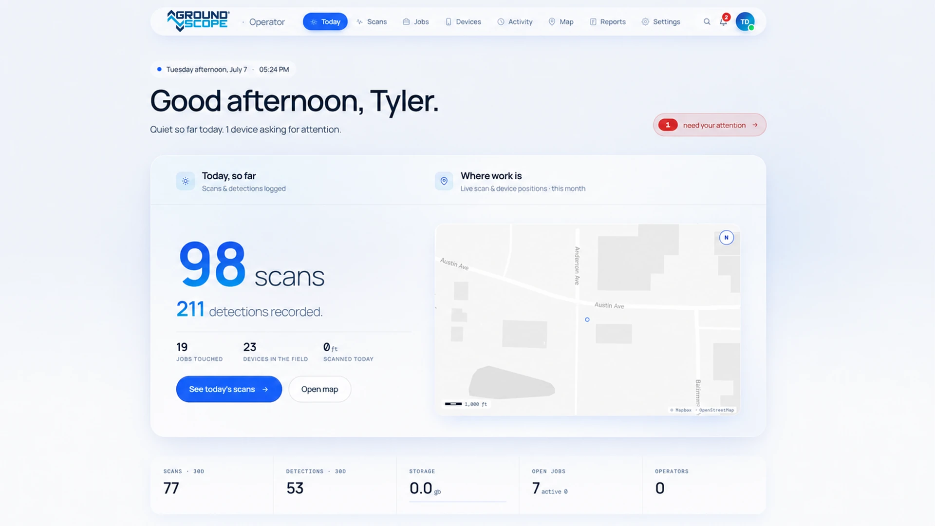
Every scan becomes an official record
The moment a scan finishes, it is stored in the GroundScope Portal with its position, time, operator, and unit.
Supervisors see where crews are working and what they found. Records stay organized by job, ready for a report or a dispute.
Everything you need to know
What does the GSX1000 do?
It is a subsurface verification tool. Crews scan the exact dig point right before excavation, see what is below, and keep a record of the check.
Does it replace 811?
No. Calling 811 is still required. The GSX1000 adds a verification step at the dig point, after the marks are down.
Does it replace Subsurface Utility Engineering (SUE)?
No. SUE produces detailed engineering surveys. The GSX1000 verifies conditions right before digging starts.
Do I need a specialist to operate it?
No. Most operators learn the workflow in about ten minutes.
How is it different from traditional GPR?
Traditional GPR needs a trained technician to read the data. The GSX1000 reads its own scans and reports targets directly, at the point of dig.
Can we use the hardware without the subscription?
No. The Basic plan is required to access the AI processing and GPS location.