Accountable excavation on public ground.
A fast verification step and a clear record for every public works excavation, from routine repairs to capital projects.
Where it fits
One scan at the dig point, after the marks are down and before the bucket goes in.
Infrastructure maintenance
Confirm what is below before repairs and routine maintenance.
Roads and transportation
Verify conditions before excavation in active public rights-of-way.
Capital improvement projects
Add visibility during planned infrastructure upgrades.
Emergency repairs
Assess the ground quickly when immediate action is required.
Water, sewer, and stormwater
Check conditions around buried crossings before digging.
Why it matters here
Public trust
A strike on public ground becomes a public problem. The check is seconds.
Records for audits
Every scan is tied to a job, location, and operator, ready for reporting and review.
Works across crews
In-house crews and contractors use the same unit and the same record.
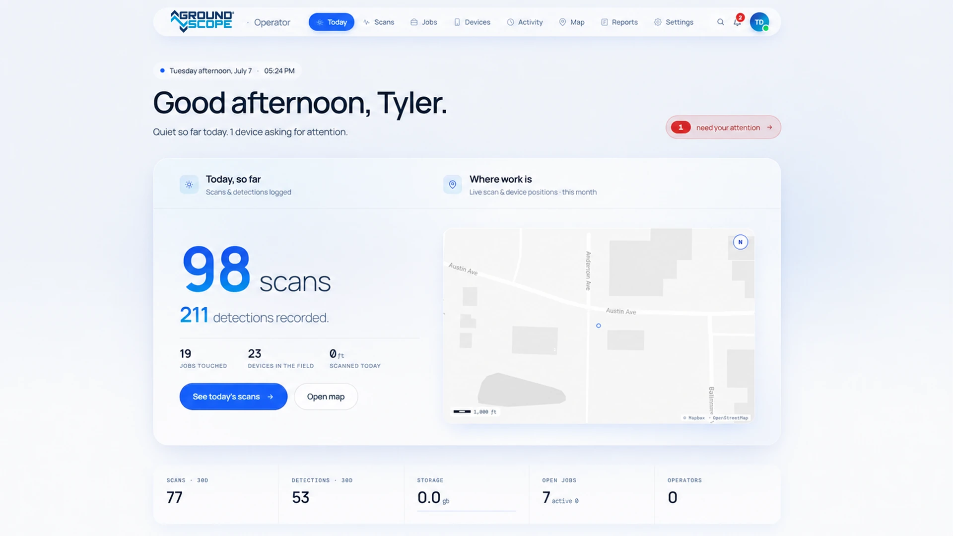
Every scan becomes an official record
The moment a scan finishes it is stored in the GroundScope Portal with its position, time, operator, and unit.
If a strike is ever questioned, the record of the check is there.
Everything you need to know
When should GroundScope be used on municipal projects?
After 811 markings and before breaking ground, and again as a project advances.
Does it replace engineering surveys or locating services?
No. It adds a verification step before excavation.
How does it support compliance and documentation?
Each scan is recorded with its job, location, and operator, for reporting, audits, and review.
Can it be used across multiple crews and projects?
Yes. The Portal gives centralized access to scan history and job records.
Who operates it?
Public works crews, contractors, and supporting teams, without specialized training.